How To Conduct A Site Survey

Before any groundbreaking or detailed design begins, teams start with a methodical site survey to understand the land and its constraints.
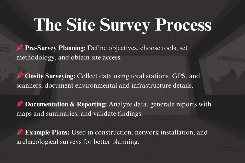
Define the Purpose and Scope of Your Survey
A clear objective keeps your site survey focused and prevents wasted effort. Ask why you are conducting the work and what decisions the results will influence, such as layout planning, foundation design, or utility routing. Clarify whether you need topographic data, existing structure conditions, soil characteristics, or access and logistics information. Documenting the scope also helps manage expectations and prevents mission creep as stakeholders request additional information later.
Consider legal and regulatory factors when you define the purpose. Permits, environmental restrictions, heritage protections, and easements can impose hard boundaries on what you can do on site. Including compliance checks in the early planning phase reduces the risk of costly redesigns or delays. Align the survey objectives with project milestones so that the data is delivered when decision-makers need it.

Assemble the Right Team and Equipment
Success depends on having the right skills in the field and in the office. A qualified surveyor or civil engineer leads the effort, while architects, geotechnical specialists, and utility coordinators contribute context-specific insights. Assign clear roles so that observations about structural conditions, ground stability, and access points are captured by people who understand the implications.
Equip the team with reliable tools and backup systems to capture accurate data. Total stations, GNSS receivers, and laser scanners serve different needs, so choose based on required precision and site complexity. Complement hardware with robust data collection forms, mobile apps, and cloud storage to keep records organized and synchronized. Regularly calibrate instruments and verify measurements to avoid surprises when the data is analyzed.
Conduct a Detailed Reconnaissance and Risk Assessment
Begin with a walkover to familiarize the team with the site and identify obvious constraints such as slopes, water bodies, and built structures. Note access points, vehicle routes, and areas that may be difficult to reach under different weather conditions. This reconnaissance phase helps refine the survey plan and highlights zones that require more detailed attention.
Safety and risk management must be integrated into every step. Identify hazards such as unstable ground, overhead power lines, confined spaces, and traffic exposure. Equip the team with appropriate personal protective equipment, emergency procedures, and clear communication protocols. Documenting risks also supports liability management and ensures that field staff can work confidently without compromising safety.
Capture Accurate Measurements and Documentation
Collect spatial data using a combination of surveying techniques tailored to the site and required precision. Establish control points, take triangulated measurements, and record coordinates for key features such as corners, boundaries, and infrastructure locations. Complement geometric data with photographs, sketches, and written notes that capture context, materials, and visible conditions.
Maintain strict data governance to ensure that records are trustworthy and traceable. Use unique identifiers, timestamps, and version control so that changes can be tracked over time. Store data in formats that are easy to share across disciplines, and back up critical files to protect against loss. Consistent documentation reduces confusion when the survey data feeds into design and construction workflows.

Analyze Data and Translate Findings into Plans
Process the raw measurements into coherent plans, sections, and overlays that highlight critical information for decision-makers. Convert field notes and observations into clear visuals, such as site plans, contour maps, and utility schematics. Use software tools to model constraints, run basic feasibility checks, and test alternative layouts before committing to detailed design.
Validate interpretations with stakeholders to confirm that the data aligns with practical realities on the ground. Hold review sessions where surveyors, engineers, and planners can question assumptions and refine the narrative. This collaborative step minimizes misunderstandings and ensures that the survey output supports informed decision-making.
Report, Archive, and Use Results Responsibly
Produce a concise yet comprehensive report that summarizes methods, assumptions, findings, and recommendations. Include maps, tables, and appendices with supporting documentation so that future teams can reuse the data. Clearly flag unresolved issues, areas of uncertainty, and follow-up actions required before work proceeds.

Store completed surveys in a structured archive that supports retrieval and compliance audits. Apply metadata, access controls, and retention policies to protect sensitive information and respect privacy obligations. By treating site survey information as a strategic asset, organizations improve maintenance, retrofit planning, and long-term portfolio management.
When executed with discipline and collaboration, a site survey becomes the foundation for safer, more efficient, and better-informed projects.
How does land surveying work?
A primer on one of the most important companions to civil engineering: land surveyors. Conventional measurement tools like a ...
